
Distance
Drive time
Vehicle needed
per day
The drive from Nairobi to Eldoret covers approximately 315 km via the A104 highway to Nakuru and the A1 highway north to Eldoret, taking 4–5 hours in standard traffic. The route passes through the Great Rift Valley Escarpment, the highland farming country around Nakuru, and the Timboroa highlands at 2,700m — one of the highest points on any major Kenyan highway. Eldoret is Kenya’s fifth-largest city at 2,085m elevation and the recognised home of Kenya’s distance-running athletics tradition. A standard saloon or SUV handles the entire route on paved highway; no 4WD is required.
Key Takeaways
- Distance: ~315 km via A104 (Nairobi → Nakuru) then A1 (Nakuru → Eldoret).
- Drive time: 4–5 hours including one rest stop at Nakuru or Timboroa.
- Road type: fully paved A104 and A1 — no off-road sections required.
- Vehicle: any saloon, estate, or SUV — 4WD not required for the highway route.
- Fuel: fill in Nairobi; refuel in Nakuru (165 km) — top up before Timboroa highland section.
- Elevation change: Nairobi 1,661m → Timboroa 2,700m → Eldoret 2,085m — temperatures drop significantly; carry a layer for the highland section.
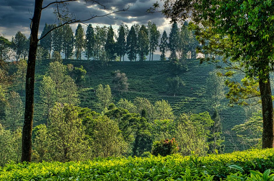
- Best time for Eldoret visit: January–March and July–August — dry seasons with clear highland air; Nandi Hills tea estates at full green.
The Route: Nairobi to Eldoret
| Town / Landmark | Distance from Nairobi | Notes |
|---|---|---|
| Limuru / Escarpment viewpoint | ~45 km | Photo stop — Great Rift Valley panorama; start of A104 Escarpment descent |
| Naivasha junction | ~90 km | Option to divert to Lake Naivasha (15 km south); fuel available; breakfast stop |
| Gilgil | ~130 km | Small market town; fuel; last stop before Nakuru on the A104 |
| Nakuru town (A1 junction) | ~165 km | Major fuel stop; food; accommodation; junction for A1 north to Eldoret |
| Molo | ~205 km | Market town at 2,400m — fresh produce; cool temperatures; road climbs into highlands |
| Timboroa | ~245 km | Highest point on the A1 at 2,700m — Kenya’s highest major road junction; cold temperatures year-round; limited fuel |
| Eldoret town | ~315 km | Journey end; Kenya’s athletics capital; Nandi Hills access; Uganda Road commercial hub |
The A1 from Nakuru to Eldoret via the Uasin Gishu Plateau is one of Kenya’s most scenic highland drives. Between Molo and Timboroa, the road rises through dense forest and then opens onto rolling grassland at extreme highland altitude — temperatures here are frequently below 10°C even in the dry season. The descent from Timboroa into Eldoret is gradual and passes through some of Kenya’s most productive wheat farming country.
Alternative Route: Via Nakuru and the A104 Bypass
A less common alternative routes via Nakuru → Eldoret → Kitale if combining with a visit to Soy, Turbo, or the North Rift region. There is also a longer route through Narok and Kericho that adds approximately 90 km but passes through tea country — only practical when combining Kisumu or Kericho as a stop.
The direct A104 → A1 route through Nakuru is the fastest and most fuel-efficient for a Nairobi–Eldoret trip without stops. If combining Nakuru National Park, allow an additional 2–4 hours at the park before continuing north on the A1.
Vehicle Options for the Nairobi to Eldoret Route
| Vehicle Type | Suitability | Hire Cost/Day (KES) | Best For |
|---|---|---|---|
| Economy saloon (Axio, Vitz) | Good — A104/A1 fully paved | 3,500–4,500 | Solo or couple; business travel; no side trips requiring clearance |
| Estate / wagon (Fielder, Wish) | Good — luggage capacity for longer stays in Eldoret | 4,500–6,000 | Family travel; luggage-heavy; comfortable for 4–5 hour drive |
| Mid SUV (RAV4, Harrier) | Recommended — comfort over 315 km; Nandi Hills access | 5,500–8,000 | Comfort-focused; Nandi Hills tea estate roads (paved but narrow) |
| 7-Seater (Hiace, NV350) | Good for groups of 6–10 | 8,000–12,000 | Group travel to Eldoret; best per-person value for large families |
Fuel Planning: Nairobi to Eldoret
| Vehicle | Consumption (highway) | Round Trip (630 km) | Estimated Fuel Cost (KES) |
|---|---|---|---|
| Economy saloon (1.3L petrol) | ~9L/100km | ~57 litres | KES 11,115 |
| Mid SUV (2.0L petrol) | ~12L/100km | ~76 litres | KES 14,876 |
| Diesel SUV (2.2L diesel) | ~10L/100km | ~63 litres | KES 11,655 |
Fuel stop protocol: fill completely in Nairobi before departure. Refuel at Nakuru (165 km) — multiple Shell, Total, and Rubis stations in the town centre. Top up again before the Timboroa highland section (Molo town, ~205 km) as fuel availability is limited between Molo and Eldoret. Eldoret town has full fuel infrastructure including Shell, Total, and Kenol stations.
What to Do in and Around Eldoret
- Nandi Hills — 40 km southeast of Eldoret; sweeping views of the Rift Valley from one of Kenya’s most spectacular highland viewpoints; Nandi Hills town has access to tea estate drives through continuous Kericho-grade tea plantations at 1,800–2,000m elevation
- Eldoret Athletics Heritage — Eldoret is the training base of many Kenyan Olympic and World Championship medallists; the area’s training tracks at the Eldoret Sports Club and Kamariny Stadium in Iten (30 km north) are open for visitor observation and photography; Iten is known as “The Home of Champions”
- Cherangani Hills — 80 km north of Eldoret; Kenya’s fourth-largest mountain massif; hiking and trekking routes through indigenous Cherangani forest; requires 4WD on the access roads beyond Kapenguria
- Moiben River Valley — scenic highland valley 20 km south of Eldoret; pastoral Nandi community farmland; calm rural driving on paved roads
- Eldoret Marikiti Market — the town’s main traditional market; produce, crafts, agricultural goods; accessible on foot from central Eldoret; no admission
- Soy Dam — 30 km north of Eldoret; small reservoir popular for local recreation and birding; accessible in any vehicle; no admission fee
Iten: Kenya’s Running Capital
Iten town sits 30 km north of Eldoret at 2,400m on the Uasin Gishu Escarpment — the highest permanently settled town accessible by paved road in Kenya. The altitude makes it a global altitude training destination: Eliud Kipchoge, Brigid Kosgei, Beatrice Chepkoech, and hundreds of Kenyan Olympic runners train from Iten. The High Altitude Training Centre at Iten is open to visitors for guided tours during training sessions. The road from Eldoret to Iten is fully paved and takes approximately 35 minutes.
Eldoret Accommodation Overview
| Accommodation Type | Price Range (KES/night) | Examples |
|---|---|---|
| Budget guesthouse | 1,500–3,500 | Eldoret Boma Hotel budget wing; Elgon View guesthouses |
| Mid-range hotel | 4,000–9,000 | Sirikwa Hotel; Eldoret Wagon Hotel; White Rhino Hotel |
| Business hotel | 9,000–20,000 | Eldoret Boma Hotel; Merica Hotel Eldoret |
| Iten running camps (budget) | 2,500–5,000 | Iten based running lodges near HATC |
Location
Frequently Asked Questions
How long does it take to drive from Nairobi to Eldoret?
4–5 hours via the A104 to Nakuru then A1 to Eldoret — including one rest stop at Nakuru or Molo. Departing Nairobi before 07:00 avoids city traffic and allows arrival in Eldoret by 12:00–13:00. Traffic through Nakuru town adds 15–30 minutes; the bypass is recommended.
What is the best route from Nairobi to Eldoret?
A104 Nairobi → Nakuru (165 km), then A1 Nakuru → Eldoret (150 km). The entire route is paved. An alternative route via Kericho and Kisumu (adding approximately 90 km) is scenic through tea country but adds 1–2 hours of drive time — only practical when combining western Kenya destinations.
Do I need a 4WD to drive from Nairobi to Eldoret?
No. The A104 and A1 are paved highways throughout. A 4WD is only required for off-road side trips — Cherangani Hills tracks (beyond Kapenguria), forest roads in the North Rift, or the access tracks to remote highland areas. A standard saloon or SUV handles Iten and Nandi Hills on paved roads.
Is the drive from Nairobi to Eldoret safe?
Yes — in daylight on the A104/A1 corridor. The highways are well-maintained and regularly patrolled. The Timboroa section (2,700m) experiences fog and mist in the long rains (March–May) — reduce speed and use headlights if visibility drops below 100m. Night driving beyond Nakuru on the A1 is manageable but livestock crossing is an increased risk after dark.
What is Eldoret known for?
Eldoret is Kenya’s fifth-largest city and the centre of the North Rift region’s agricultural economy — wheat, maize, dairy, and tea production. It is best known internationally as Kenya’s athletics capital: the training base for Eliud Kipchoge, multiple Olympic champions, and World Championship medallists who use the 2,085m altitude for high-altitude endurance training. Iten (30 km north) hosts the High Altitude Training Centre and is the world’s most concentrated base of elite distance runners.
Related Guides
- Nairobi to Nakuru car hire & road trip guide
- Nairobi to Kisumu car hire & driving guide
- Fuel prices in Kenya: How to budget for a road trip
- Kenya road rules: Speed limits, police checks, and traffic fines
- Top 10 road trips from Nairobi
Barguts Tours provides car hire for the Nairobi–Eldoret route — economy saloons, mid-SUVs, and 7-seaters for group travel. One-way hire (collect Nairobi, return Eldoret) is available subject to a drop-off fee. Contact Barguts Tours at carhirenairobi.co.ke or call +254 707 116 220 to book your Eldoret vehicle.
Sources:
- Kenya National Highways Authority — kenha.go.ke
- Kenya Tourism Board — magicalkenya.com
- Athletics Kenya — athleticskenya.or.ke